
 Yahoo Finance
 SLA announces new geospatial collaborations
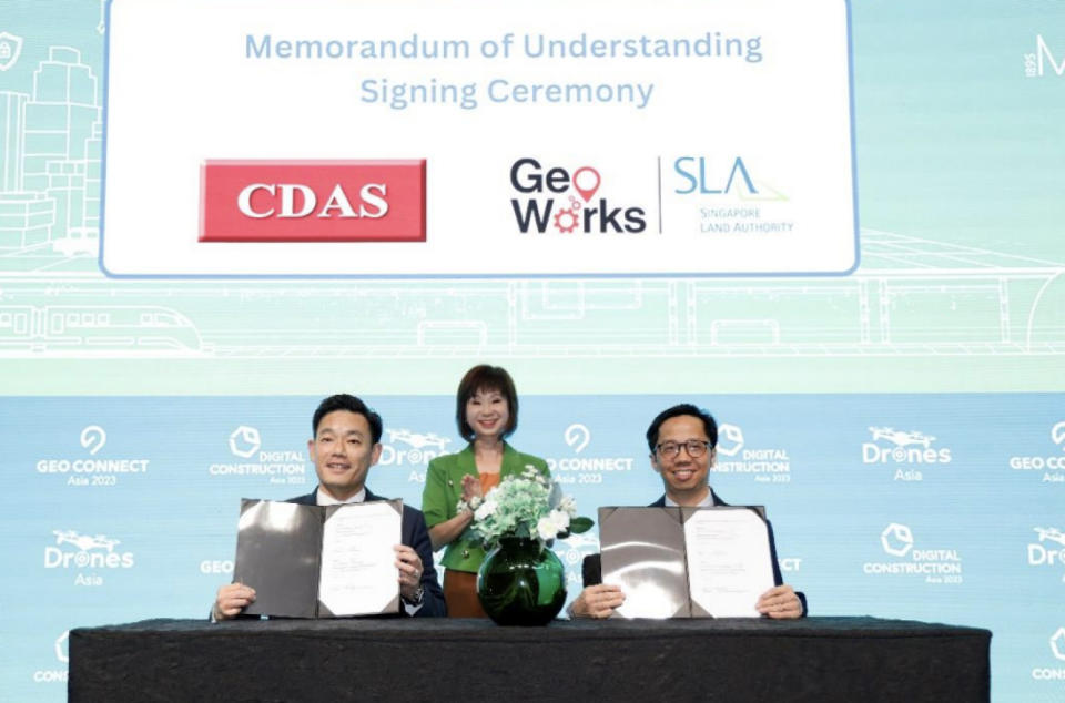
Sin Lye Chong, Assistant Chief Executive (Geospatial & Engagement) and Chief Sustainability Officer of SLA (right), and Ricky Loo, Deputy President (left), Container Depot and Logistics Association (Singapore), signed a Memorandum of Understanding to improve heavy vehicle routing. The signing was witnessed by Dr Amy Khor (centre), Senior Minister of State, Ministry of Sustainability and the Environment, and Ministry of Transport (pictureL SLA)
SINGAPORE (EDGEPROP) - The Singapore Land Authority (SLA) has announced new collaborations to solve challenges through geospatial technology. The collaborations were announced by Dr Amy Khor, Senior Minister of State, Ministry of Sustainability and Environment, and Ministry of Transport, at the opening of the GEO Connect Asia 2023 trade show and conference on March 15.
At the event, SLA signed a Memorandum of Understanding (MOU) with the Container Depot and Logistics Association (Singapore) or CDAS. Under the MOU, CDAS and SLA will collaborate for two years to use geospatial data on road conditions and restrictions to help route heavy vehicles operated by CDAS’ member companies.
SLA also embarked on its first bilateral collaboration with the General Authority for Survey and Geospatial Information of the Kingdom of Saudi Arabia (GEOSA). Over three years, SLA and GEOSA will exchange knowledge and experiences on developing national geospatial databases, developing Digital Twins, digital transformation in the geospatial industry, and developing geospatial products and services.
Meanwhile, SLA says it has also been working with SG Enable and Gardens by the Bay to map out barrier-free routes that will help wheelchair users move about easily. The collaboration is part of SLA’s support for Singapore’s Enabling Masterplan 2030, which sets out the vision for Singapore as an inclusive society in 2030.
In this initiative, data relating to routes that are barrier-free such as those with wheelchair-accessible covered linkways, ramps, footpaths, pedestrian crossings, overhead bridges with lifts are collected and mapped in Bukit Merah and Gardens by the Bay.
SLA has developed a pilot testing app with the barrier-free access routes for these two areas to gather feedback from wheelchair users. Improvements in terms of data accuracy and user-friendliness will be incorporated in additional testing areas in the next six months. Eventually, the barrier-free access routing function will be added to OneMap as an additional mode of wayfinding, to supplement the existing public transport, cycling and driving modes.
See Also:
Singapore Property for Sale & Rent, Latest Property News, Advanced Analytics Tools
New Launch Condo & Landed Property in Singapore (COMPLETE list & updates)
[UPDATE] From REIT to public service: SLA’s Colin Low heeds the call
Gillman Barracks launches two new creative lifestyle tenders
SLA’s $2 mil rejuvenation of Gillman Barracks underway; five commercial blocks launched for tender
En Bloc Calculator, Find Out If Your Condo Will Be The Next en-bloc
